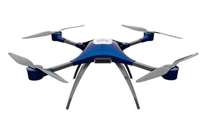
Understanding SAR Drones
SAR drones are equipped with sophisticated sensors and cameras that provide real-time aerial views of the affected areas. These drones can navigate challenging terrains and weather conditions where traditional search and rescue operations might face limitations. Utilizing technologies such as thermal imaging and GPS, SAR drones offer a significant advantage in locating missing persons or survivors amidst debris.
The drones’ capability to swiftly cover large areas and remote regions makes them indispensable tools in disaster scenarios. Furthermore, they can operate autonomously or be manually controlled by experts, ensuring adaptability in various situations.
- Real-Time Data Transmission: SAR drones are equipped to send real-time imagery and data to the command center, enabling informed decision-making.
- Night Vision and Thermal Cameras: These features allow drones to locate individuals by detecting heat signatures even in complete darkness.
- Swift Deployment: The portability and ease of deployment make drones a quick-response tool, arriving on site faster than traditional means.


Challenges and Overcoming Them While SAR drones offer remarkable benefits, there are challenges that need addressing to maximize their potential. Interference, battery life, and regulatory hurdles are among the primary concerns. Boosting battery endurance and ensuring reliable communication between drones and operators can significantly enhance mission success rates. Regulatory challenges also need tackling, with an emphasis on creating frameworks that support seamless drone operations in emergency scenarios.
The deployment of SAR drones presents a path to more efficient and effective search and rescue operations, reducing the time and resources needed and potentially saving more lives. Their ability to quickly assess disaster zones and provide situational awareness places them at the forefront of modern emergency response technology.
