In recent years, the integration of drone technology in land surveying has sparked a revolution, opening new horizons for efficient and precise land assessments. Drone surveying, which utilizes unmanned aerial vehicles (UAVs) equipped with advanced imaging technology, is reshaping how we gather data on landscapes, construction sites, and even archaeological digs. This innovation enables surveyors to collect detailed information from difficult-to-access areas with unprecedented speed and accuracy.
Advantages of Drone Surveying
The primary benefit of drone surveying lies in its ability to capture high-resolution images and data from a bird’s-eye view. This aerial perspective is especially valuable for large-scale projects where traditional methods may fall short. Additionally, the flexibility of UAVs allows surveyors to navigate and capture data from challenging terrain or hazardous environments without risking human safety. Drone surveying also dramatically reduces labor costs and time spent on-site, as it requires fewer personnel and provides quicker results.
Applications of Drone Surveying in Land Assessment
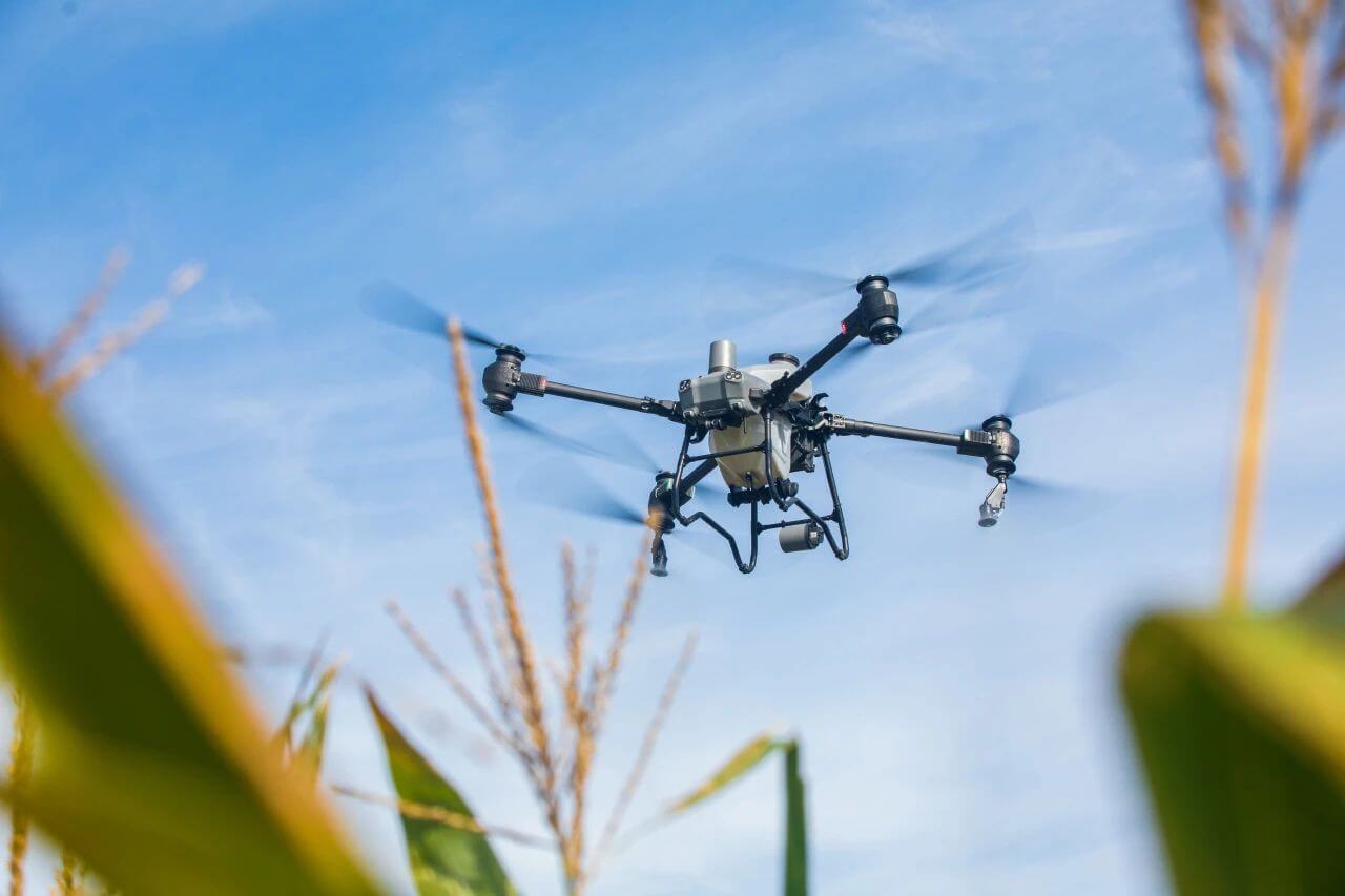
Drones are increasingly employed in various sectors where land assessment is crucial. In urban development, they are used to map potential construction sites, aiding architects and engineers in planning and decision-making processes. In agriculture, drones assist farmers in monitoring crop growth and soil health, leading to more efficient resource management. Environmentalists utilize drones to track changes in ecosystems, study wildlife habitats, and even monitor deforestation.
Technological Advances Enhancing Drone Surveying
The evolution of drone technology continues to push boundaries in surveying. Innovations such as LiDAR (Light Detection and Ranging) allow drones to capture topographical data with exceptional accuracy. This technology uses LiDAR sensors to emit laser pulses and measure distances between the drone and the ground, creating detailed 3D maps and models. Furthermore, advancements in AI and machine learning are empowering drones to process and analyze data in real-time, providing immediate insights and reducing the need for extensive post-processing work.
Challenges and Considerations
Despite its many benefits, drone surveying does come with challenges. Legal and regulatory hurdles often complicate UAV operations, with flight restrictions in certain areas posing significant obstacles. Weather conditions can also affect surveying accuracy, necessitating contingency plans to ensure data collection remains uninterrupted. Additionally, ensuring the protection of sensitive data captured by drones is paramount to maintain client confidentiality and trust.
Future Prospects of Drones in Land Assessment
The future of drone surveying is promising, with potential applications extending into fields such as disaster management and real estate. In disaster scenarios, drones can swiftly assess damage and identify safe routes for rescue operations. For real estate, drones provide dynamic virtual tours of properties, enhancing client engagement. As technology continues to advance, we can anticipate even more streamlined processes and enhanced capabilities, solidifying drones as indispensable tools in land assessment.
FAQs
- How accurate is drone surveying compared to traditional methods?
Drone surveying often surpasses traditional methods in terms of accuracy due to its ability to capture high-resolution aerial data, providing a comprehensive view of the land. - Are there any areas where drones cannot be used for surveying?
Yes, regulatory restrictions may prevent drone use in certain locations, especially near airports or sensitive government installations. - How do drones address privacy concerns during surveying?
Privacy is safeguarded through strict data handling protocols and compliance with regulations governing aerial imaging.