Precision agriculture is revolutionizing modern farming techniques, providing insightful data that aids in optimizing crop yield while minimizing resources. Among the numerous technological advancements in this sector, drones equipped with multispectral cameras stand out as a game-changer. These drones, utilizing the latest multispectral imaging technology, are transforming the precision agriculture landscape by offering unparalleled insights into soil, plant health, and crop management.
Understanding Multispectral Imaging in Agriculture
Multispectral cameras capture light from a range of wavelengths beyond the visible spectrum. This capability is crucial as different materials absorb and reflect light uniquely. In agriculture, the use of multispectral imaging facilitates the analysis of plant health, soil conditions, and pest management. These cameras can spot variations in crop health, allowing for early intervention and targeted treatment, thus ensuring optimal growth conditions.
The Role of Drones
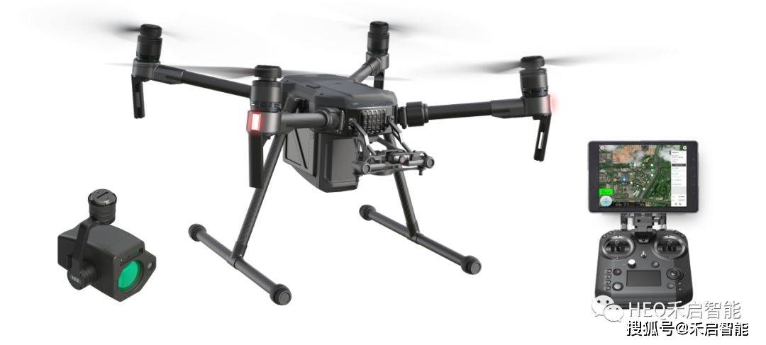
Drones equipped with multispectral cameras provide farmers with accurate and timely data. These unmanned aerial vehicles (UAVs) can easily survey large areas and capture detailed imagery that would otherwise be impossible or highly time-consuming using traditional methods. Farmers can access this data in real-time, assessing factors such as plant health, hydration levels, and nutrient content effectively.
Benefits of Using Drones with Multispectral Cameras
- Improved Crop Health Monitoring: Multispectral imaging can detect diseases and pest infestations at an early stage, enabling farmers to take corrective actions swiftly.
- Efficient Resource Management: By identifying the exact needs of different crop sections, drones help in optimizing water usage, fertilization, and pesticide application.
- Yield Optimization: Precise data allows farmers to implement strategies that maximize crop yield and enhance quality.
How Does Multispectral Imaging Work?
Multispectral cameras typically operate on five key bands: blue, green, red, NIR (Near Infrared), and Red Edge. These bands provide critical insights into vegetation indices; for instance, the NDVI (Normalized Difference Vegetation Index) allows the identification of stressed plants by comparing the reflection of red and NIR light. Such detailed observations assist in understanding plant health and predicting the potential yield output.
Integration in Precision Agriculture
The integration of drones with multispectral imaging is becoming increasingly prevalent among forward-thinking farmers. This technology provides detailed topographical surveys, enabling better field management and ensuring sustainable agricultural practices. As these drones can cover expansive areas with minimal human error, they are indispensable for large agricultural operations worldwide.
Future Prospects
As technology advances, we can anticipate even greater enhancements in multispectral imaging capabilities. With improved sensors and analytic software, drones will offer even more refined data, catering to specific crop needs and environmental conditions. This development will push precision agriculture towards more cost-effective and environmentally friendly farming methodologies.
FAQs
How do multispectral cameras differ from regular cameras?
Multispectral cameras capture images across multiple wavelengths, including those outside the visible spectrum, such as infrared. This capability allows for detailed analysis of factors affecting crop health that are invisible to the naked eye.
Can multispectral imaging improve sustainable farming?
Absolutely! This technology ensures efficient use of resources like water and fertilizers by pinpointing specific needs, reducing waste, and promoting environmentally sustainable practices.
What challenges exist in implementing drone technology in agriculture?
While drones offer significant benefits, challenges include initial cost investment, regulatory approvals, and necessary technical expertise to interpret data effectively. With technological advancements and more accessible training programs, these barriers are gradually being reduced.